

A large part of northeastern Indiana has a level 3 of 5 (enhanced) risk of severe weather Tuesday, May 7, 2024, with tornados, damaging straight-line wind and large hail all possible, according to an outlook that the National Weather Service Storm Prediction Center (SPC) issued at 1:30 p.m. today, May 6.
The level 3 risk is largely due to a doubling of the probability of a tornado in that area, versus the SPC’s earlier outlook.
On its tornado probability map (above), the outlook uses yellow shading to indicate a 10% probability that a tornado will occur within 25 miles of any point during the 24 hours beginning at 8 a.m. ET May 7. In our experience, a 10% probability for this area is quite unusual.
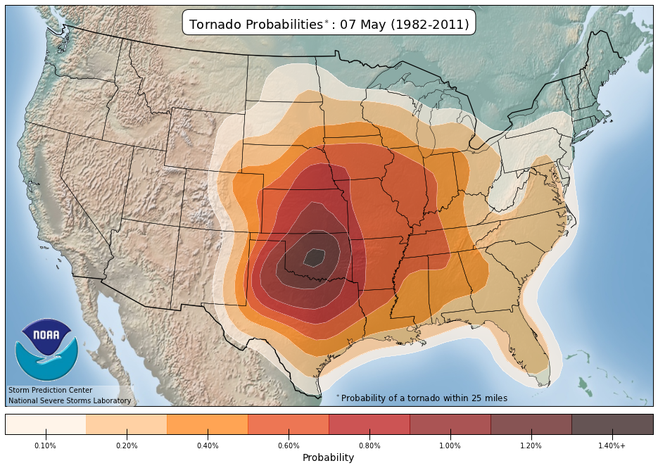
In that area, the normal probability of a tornado on any May 7 is only 0.40%, according to historical data analyzed by the NOAA National Severe Storms Laboratory. A 10% probability is therefore 25 times normal.

Of additional concern is the outlook’s indication that the same area (shaded in gray on the map above) has 10% or greater probability that any tornado that forms will be capable of damage rated EF-2 or greater on the Enhanced Fujita Scale. Possible EF-2 damage includes snapped or uprooted trees, destroyed mobile homes and roofs torn completely off houses.
The outlook gives most of the remainder of Indiana a 5% tornado probability, except for extreme northwestern Indiana, where the probability is 2%. This means a tornado is possible anywhere in Indiana tomorrow.

On its large hail probability map (above), the outlook shades all but extreme northwestern Indiana in yellow, indicating a probability of at least 15% that one inch or larger hail will occur within 25 miles of any point during the same period. The remainder of the state has a 5% large hail probability.

The outlook indicates that all but northwestern Indiana (shaded in gray on the map above) has a 10% probability that any hail that falls will be 2 inches or larger.

On its damaging wind probability map (above), the outlook shades all but extreme northwestern Indiana in yellow, indicating a probability of at least 15% that damaging, straight-line winds or gusts of 58 mph or stronger will occur within 25 miles of any point during the same period. The remainder of the state has a 5% damaging wind probability.
It would be wise for people in Indiana — especially #Skywarn storm spotters and anyone who has an outdoor activity planned for Tuesday — to plan for all forms of severe weather and pay closer than usual attention to reliable sources of weather information, including the National Weather Service and professional broadcast meteorologists.
#severeweather #tornado #INwx #largehail #damagingwind